From Chicago public transit to walking the city’s many neighborhoods, here’s your A to Z for getting from A to B.
Getting around Chicago
Accessibility guide to Chicago
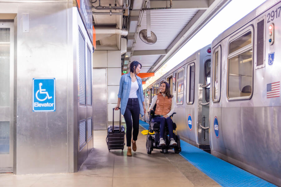
Our accessibility guide has details on getting around Chicago by train, bus, taxi, and more for those with disabilities and/or mobility devices.
Walking Chicago’s street grid system
Chicago is an extremely walkable big city, largely thanks to its organized grid system.
Madison Street divides the city north and south, while State Street divides it east and west. The State and Madison intersection in downtown Chicago marks the starting point of Chicago’s grid system. Addresses are relative to the distance from this point, with eight blocks to every mile. So, an address of 3600 N. Clark St. means that it is 36 blocks north of Madison Street.
Walkers can also take advantage of the Chicago Pedway, a system of underground tunnels that connect more than 40 blocks in the Central Business District. Covering roughly five miles, the Pedway connects buildings, public transit, and more while protecting pedestrians from the elements.
Navigating Chicago’s transit (CTA)
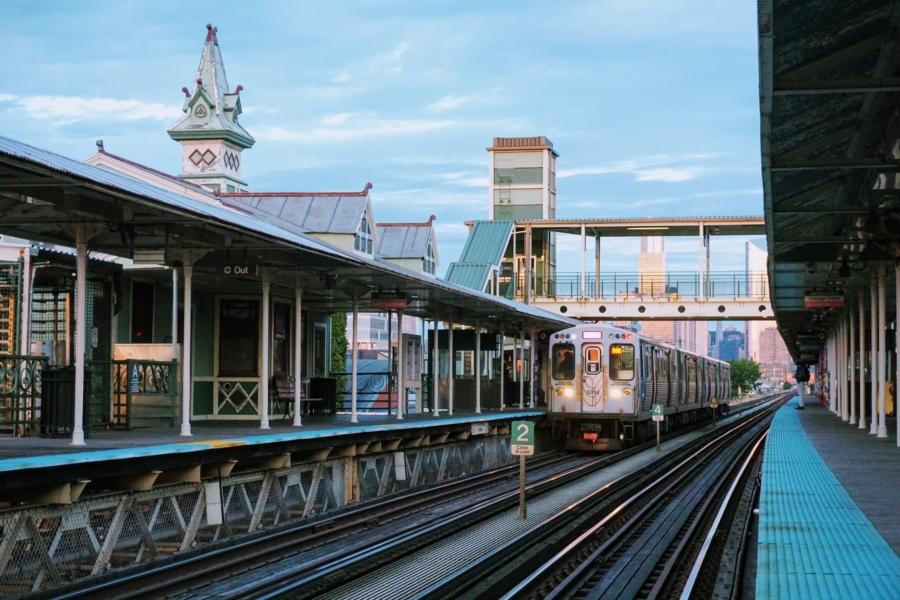
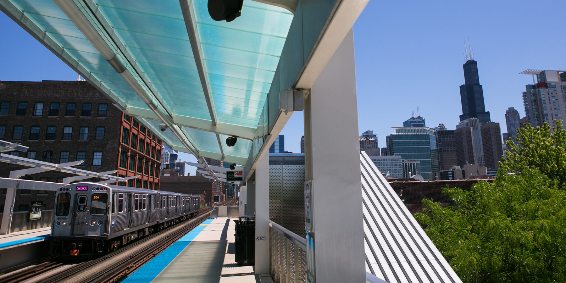
The nation’s second-largest public transportation system, the Chicago Transit Authority (CTA), operates Chicago’s eight ‘L’ train lines and 127 bus routes.
CTA trains
Not all of the system’s train lines are elevated (which is where the term ‘L’ comes from). The color-coded system connects the city via above-ground, street-level, and subway trains, and serves 145 rail stations all over town.
Two lines operate 24/7: the Blue Line, which connects Chicago O’Hare International Airport and downtown, and the Red Line, with service between the North and South Sides via downtown.
The CTA is a fast and affordable way to get to and from Chicago’s international airports:
- Blue Line service from O’Hare to downtown takes about 40 minutes.
- Orange Line service from Midway to downtown takes about 25 minutes.
Train fare is $2.50 per ride, with reduced fares and unlimited day passes available. The Blue Line from O’Hare costs $5.
Learn more about how to ride the train in Chicago.
CTA buses
Convenient CTA bus routes travel throughout the city, with stops every few blocks. The CTA bus system includes more than 120 lines that cover 1,516 miles and serve over 10,000 bus stops throughout Chicago.
Bus fare is $2.25 per ride, with reduced fares and unlimited day passes available.
Learn more about how to ride the bus in Chicago.
How to get CTA train and bus tickets
There are a few ways you can pay for your bus and train fare:
- Cash: Cash can be used directly on Chicago buses; train fare cannot be paid with cash.
- Ventra vending machines: You can buy disposable paper tickets and reloadable cards at Ventra vending machines (located in every ‘L’ station).
- Retail locations: More than 1,000 local businesses sell reloadable Ventra cards. Find locations.
- Mobile pay apps: Ventra readers can accept contactless payments directly from mobile devices, using Apple Pay, Google Pay, etc.
Tip: Download the Ventra app to track arrival/departure times for CTA buses and ‘L’ trains, and to reload your balance on the go. And check our transit maps of the CTA bus and train routes.
Regional Metra trains
The Metra commuter rail train system, which connects outlying suburbs to downtown Chicago, is a fast and easy way to travel to the heart of the city. Metra’s 11 routes cover more than 200 stations and 3,700 square miles. Find Metra fares and schedules.
Tickets can be purchased before boarding via the Ventra app, available for free download from the App Store or Google Play. Riders can choose from one-way tickets, day passes, and monthly passes. Learn more about how to purchase Metra tickets.
Riders who are new to the Metra system can view the New Riders Guide for helpful information. And explore the Metra system map to start planning your trip.
Taxis and rideshare
In addition to hailing taxis throughout the city, you can e-hail and e-pay with apps ARRO and Curb. Credit cards are accepted in all taxis.
Download Lyft and/or Uber for on-demand ridesharing throughout the city. Simply enter your current location and destination, review fare options, and request your ride.
Chicago Water Taxi
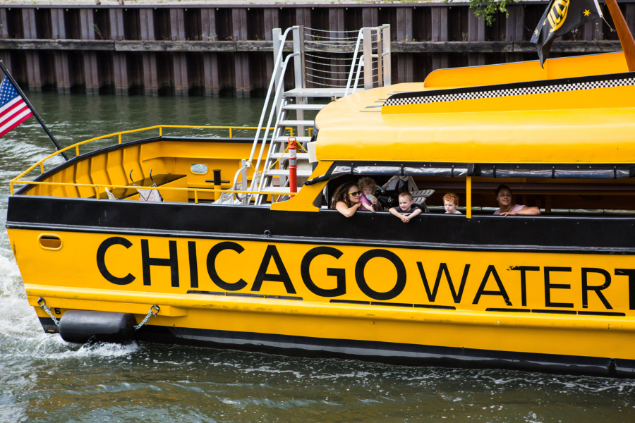
A water taxi is one of the most scenic ways to get around Chicago. The city offers two water taxi services: Chicago Water Taxi by Wendella Boats and Shoreline Water Taxi by Shoreline Sightseeing.
Both water taxi options offer fast, affordable, and fun connections between Chicago’s top tourist destinations, with excellent skyline views along the way. Destinations include Chinatown, Museum Campus, Willis Tower, Michigan Avenue, Union Station, and Navy Pier.
Find Chicago Water Taxi and Shoreline Water Taxi fares and route maps.
Shuttles and car services
Traveling with a large group or simply looking to travel in style? Find shuttle, car, and limousine services in Chicago.
Divvy bike share program

Chicago is a city made for cycling. There are over 450 miles of bike lanes, including protected on-street bike lanes and off-street trails that connect the city’s many neighborhoods, green spaces, and attractions.
Divvy, Chicago’s bike share program, offers over 950 stations and 17,000 bikes across the city, available for rent 24/7. Users simply pick up a bike from a self-service docking station and return it to a nearby station
Divvy now offers:
- Classic pedal bikes
- Electric bikes (e-bikes)
- Electric scooters
Find Divvy locations and rates. And explore Chicago bike lane maps and biking tips and guidelines.
Parking in downtown Chicago
Driving in downtown Chicago? Here are some useful resources and apps:
- Interactive map of public parking facilities in downtown Chicago.
- iParkit: Browse hourly and monthly parking options and reserve a guaranteed parking spot.
- Parking.com: Search for parking, compare options, and reserve a spot.
- Millennium Garages: Visit the site for pre-purchase and drive-up rates.
- ParkChicago: Create an account linked to your car’s license plate and enter the zone number on any Chicago street meter car parking sign to pay.
- SpotHero: Locate and pre-purchase parking spots around the city from your phone.
Check out road rules. And find traffic and road conditions from the Illinois Department of Transportation.